Hill Climbs for Road Bikers Near Denver | Westword
Navigation

The Best Hill Climbs Near Denver for Road Bikers

Looking for a road-bike challenge this summer? Here's your guide.
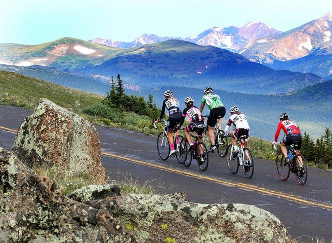
Facebook / Bob Cook Memorial / Mt. Evans Hill Climb
Share this:

Colorado is renowned for its cycling, especially when it comes to mountainous road rides. Within an hour of Denver, the Front Range of the Rocky Mountains offers some of the longest and most exhilarating hill climbs in the country, including such legendary cycling events as the Triple Bypass Bike Ride (a 120-mile haul that includes 10,000 feet of vertical gain; it turns thirty on July 14 this year) and the Bob Cook Memorial Hill Climb (a daunting 28-mile race that begins in Idaho Springs and ends at the top of fourteener Mount Evans — which has the highest paved road in the U.S.).

Whether you're crazy enough to participate in those events and need some training, or you just want to whip yourself into shape — quickly — we've compiled a short list of the best hill climbs near Denver — all along paved roads with shoulder space.

Now that it's spring, it's time to take those road bikes out of the garage, pump the tires and get ready to pedal up some hills. Remember, no pain, no gain. And the downhills are all worth it...right?

(Note: There are many, many variations of these rides. Another great resource for rides, especially if you want to go with a group, is Team Evergreen's weekly ride schedule.)

Create Routes or find more routes in Golden from millions at MapMyRide
Lookout Mountain Loop (Golden)
Distance: 15.53 miles
Climbing: 1,937 feet
Description: A shorter, easy-grade ride with plenty of climbing and views of Denver.
Starting Point: Lookout Mountain Road near Beverly Heights


Create Routes or find more routes in Ken Caryl from millions at MapMyRide

Deer Creek Loop (Littleton)
Distance: 34.57 miles
Climbing: 3,971 feet
Description: One of the most popular hill climbs, in a secluded canyon with great views and a peak elevation of 8,621 feet.
Starting Point: Chatfield Bluffs at Deer Creek Canyon Road and South Wadsworth Boulevard

Create Routes or find more routes in Boulder from millions at MapMyRide
Lefthand Canyon Loop (Boulder)
Distance: 58.69 miles
Climbing: 3,815 feet
Description: Wide shoulders on a smooth road following the river flowing through Lefthand Canyon and a top elevation of 9,336 feet.
Starting point: Gateway Park at Lee Hill Drive in Boulder

Create Routes or find more routes in Golden from millions at MapMyRide

Golden Gate Canyon Road (Golden)

Distance: 35.22 miles
Climbing: 4,461 feet
Description: A there-and-back ride through Golden Gate canyon; a less crowded road with more shoulder space compared to nearby Clear Creek Canyon (which you shouldn't ride).
Starting point: Intersection of Highway 93 and Golden Gate Canyon Road in north Golden

Create Routes or find more routes in Evergreen from millions at MapMyRide
Squaw Pass Loop (Evergreen)
Distance: 42.44 miles
Climbing: 5,957 feet
Description: A high-elevation climb out of Evergreen (reaching 11,234 feet!) with beautiful views that will be sure to get your heart pumping.
Starting point: Bergen Park in Evergreen

KEEP WESTWORD FREE... Since we started Westword, it has been defined as the free, independent voice of Denver, and we'd like to keep it that way. Your membership allows us to continue offering readers access to our incisive coverage of local news, food, and culture with no paywalls. You can support us by joining as a member for as little as $1.