
Evan Semón

Audio By Carbonatix
Keep Westword Free
We’re aiming to raise $20,000 by April 26. Your support ensures Westword can continue watching out for you and our community. No paywall. Always accessible. Daily online and weekly in print.
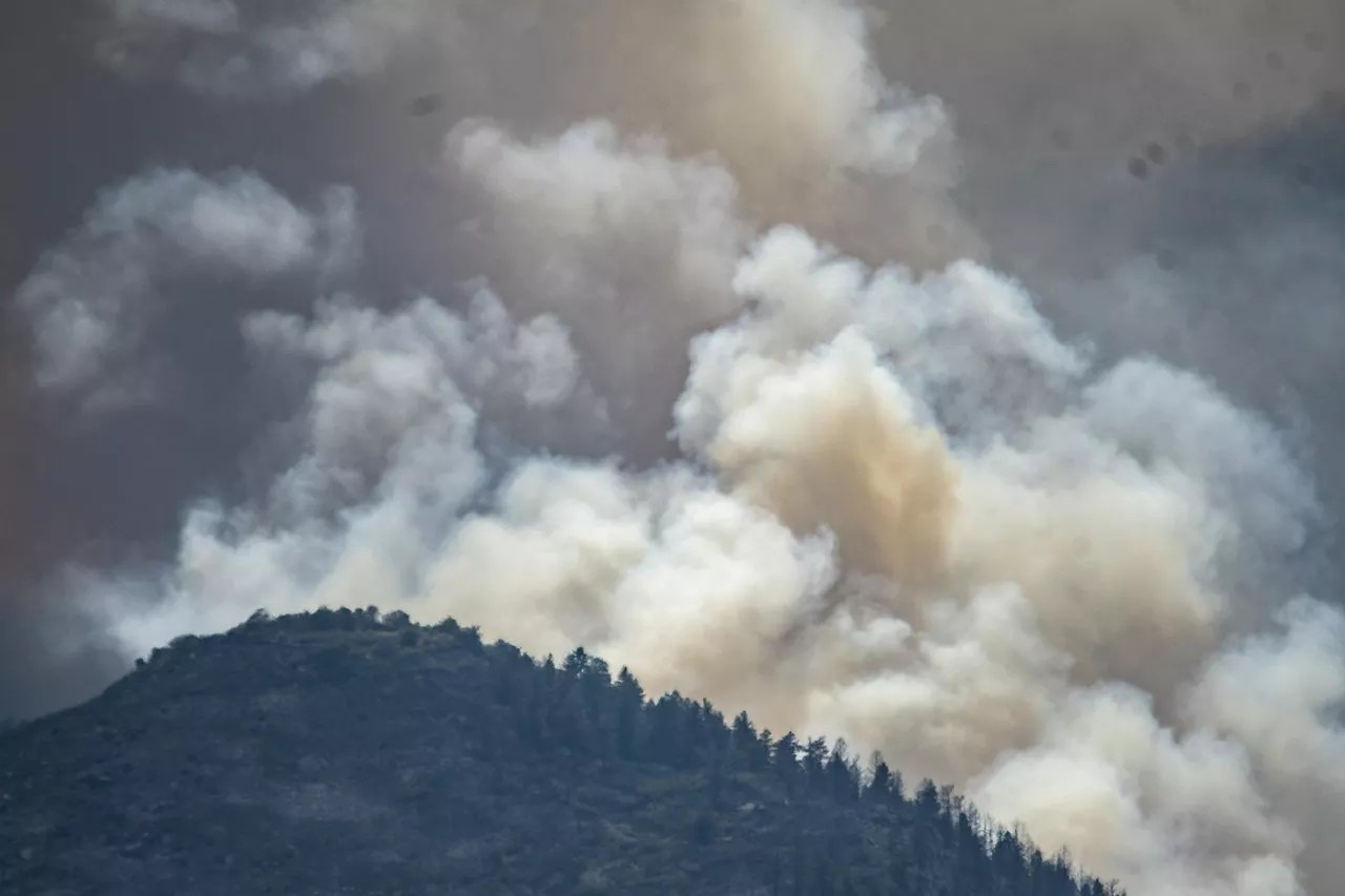
Wildfire season in Colorado has never been more dangerous, with four of the state’s largest five wildfires having occurred since 2018.
As the last few years have shown, the mountains aren’t the only regions at risk of fire anymore, either. The Front Range and even Denver suburbs have seen a few harrowing fires in the 2020s, including 2021’s Marshall fire, which caused two deaths and nearly $2 billion in damage to homes and businesses in Boulder County.
This year’s blazes haven’t come close to cracking the top twenty yet, but the damage and evacuation orders are no less frightening for those experiencing it all. On top of fires in Boulder County and Jefferson County, wildfires have also sparked outside the Front Range – in Delta and San Miguel counties – in 2024.
Using data from the National Weather Service, United States Geological Survey and other federal agencies, Esri GPS software has created an updated map of current wildfires across Colorado: